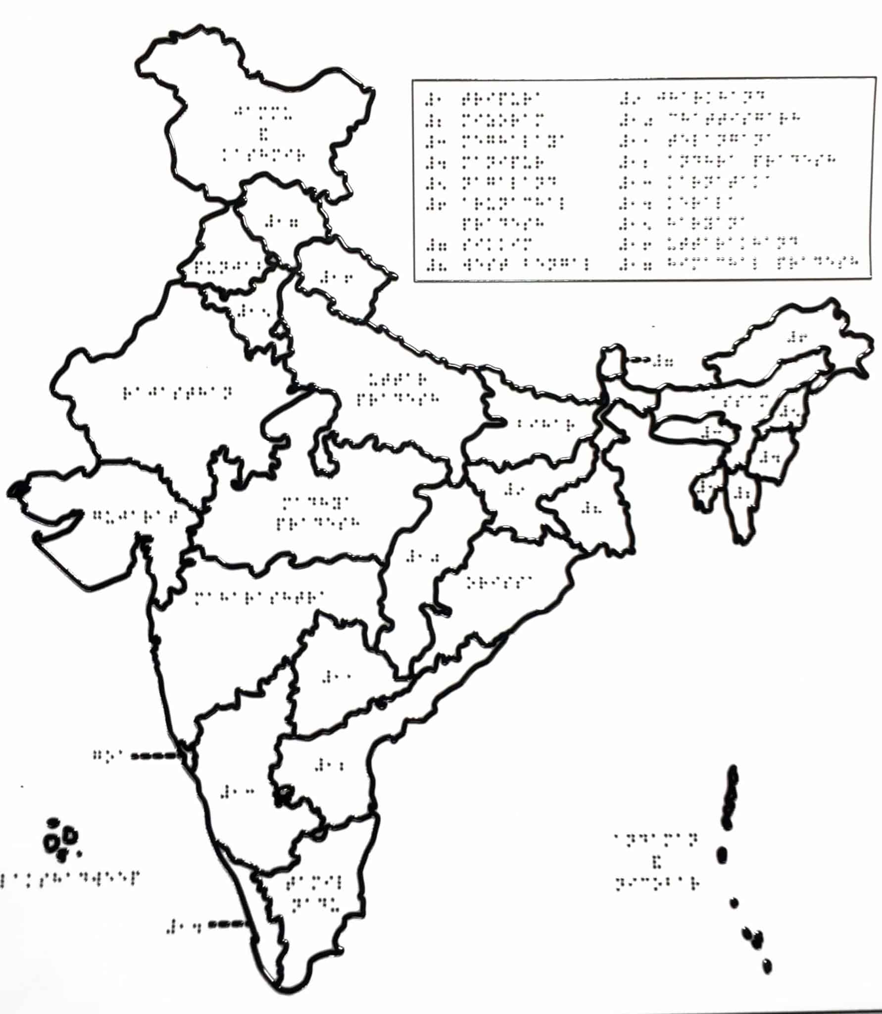
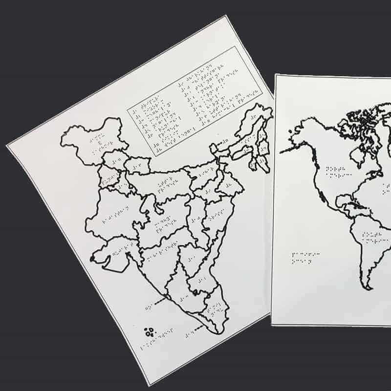
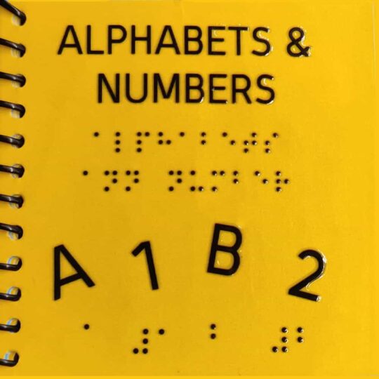
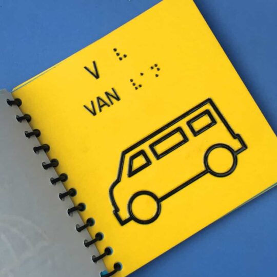
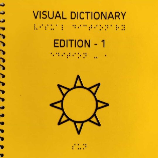
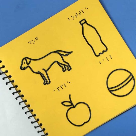
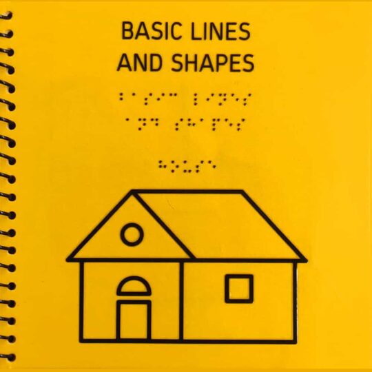
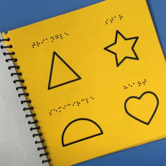
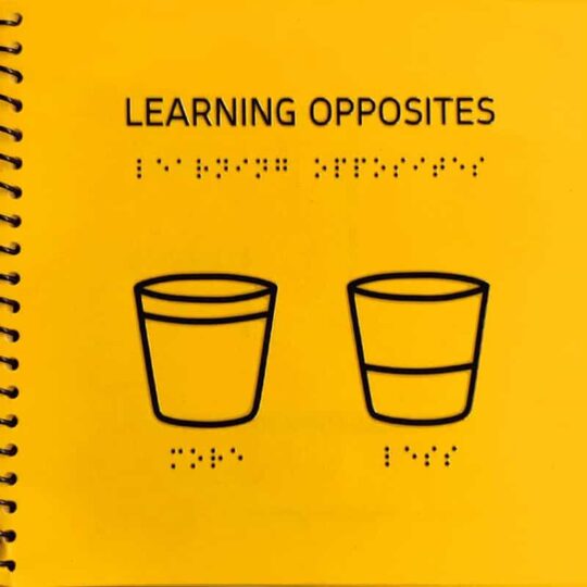
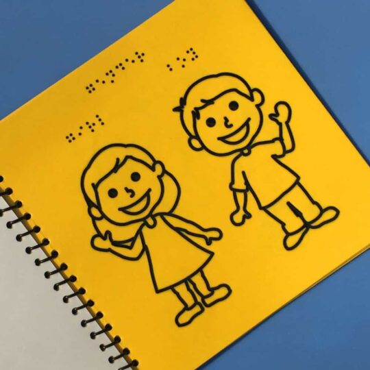
Designed for the visually impaired, this tactile braille India map can help the community to learn about the various aspects of world geography. The illustrations are designed in a manner such that the illustrations can be comprehended by the visually impaired person with the help of the fingertips. With an opportunity to feel the true shapes of objects/figures in the pictures, these tactile braille materials and resources help improve their learning, speed and efficiency.
Our brand offers tactile picture braille books, materials and resources supported by braille script, making it accessible and inclusive for the visually impaired community, thereby going one step beyond braille. With every tactile braille India map we create for the visually impaired community, the designs are conceptualised considering the tactile understanding.
The idea of illustrated tactile picture books is an exclusively patent protected innovation concept designed for the visually impaired community. We encourage the concept of oneness in our services, like our books supports all languages, colors, braille, scripts as per the requirement, taking a step further towards inclusion. These materials can be jointly read by both, sighted and non-sighted, with an option of general text, we give an option to all types of readers to comprehend the pictures and text respectively from the same book, material or resource.
If you have any doubts about blindness or visual impairment, kindly read our FAQs page.
